Editor's review
Create, view and edit EXIF data with Exif Pilot
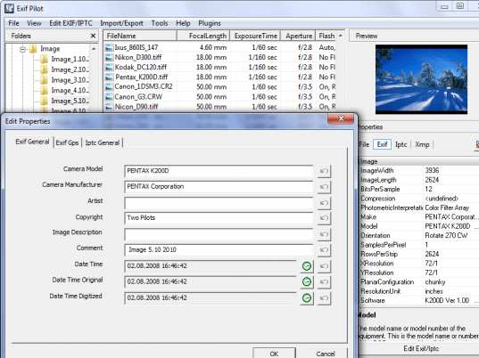
Features: Exif Pilot is EXIF editing software. It allows you to view EXIF, EXIF GPS and IPTC data from digital cameras. You are able to edit and create EXIF and EXIF GPS data. Data import and export by XML files, Excel spreadsheets and via text files in CSV format are possible for adding/editing EXIF data. You are able to add tags for export too. Each tag in an MS Excel file is defined using the descriptions Tag - name of tag and ValueOFTag - value of tag. You can use two export methods, batch export of EXIF and IPTC information for multiple images recorded in a single file or batch export of EXIF and IPTC information for multiple images each recorded in separate files. You can choose which of the two types of export/import to use via the settings provided in the application. You may assign the tags which should be exported. To define the rules for exporting, you create a pattern and then use that template to produce the resulting file. Thus, the file will contain only the EXIF information that you specify. For example, you can specify exporting only GPS coordinates or only IPTC information.
Image formats supported are JPEG images, now read, edit and create metadata, Canon raw images (CRW and THM), read only, TIFF and TIFF-based RAW formats, including NEF, CR2, PEF, SR2, DNG, and MRW, all read only as well as PNG images, read only.
Overall: The application gives you very close control on EXIF data and what you want to do with it. Windows explorer like file browser interface helps find the files you want very quickly.


User comments